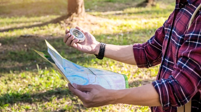
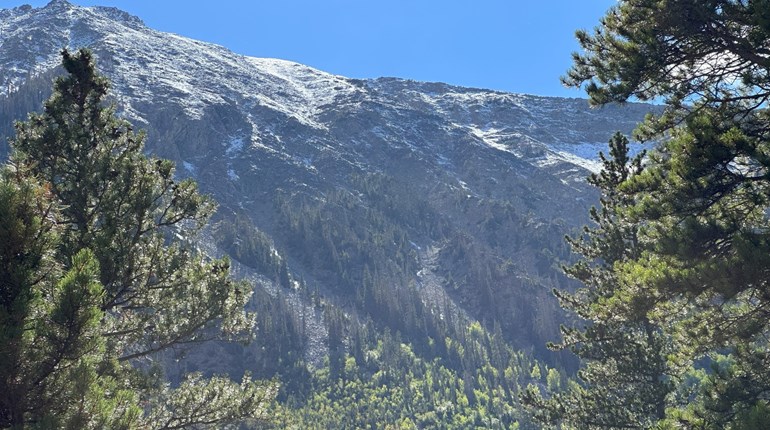
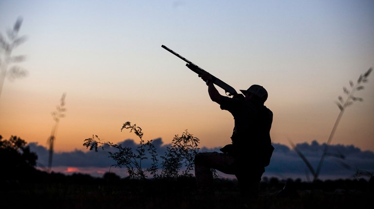
Hunters often rely on land navigation skills to scout their game and to get back to camp. With map, compass, study, training and practice, many can get along okay in the most common situations. For example, if all you have to do is get to a road that is roughly perpendicular to your planned path, and roughly west, you can put the compass needle on north and start walking west while checking the compass often to keep from circling, and you'll get there. You can walk around obstacles like ponds and start again on the other side.
But in a too common, more troublesome scenario, the hunter is significantly far from camp, at an unknown starting point, and night is falling. Should you navigate out...or hunker down?
Even in the daytime, this scenario can be a real trial. Some military experience demonstrates this. (Ask a soldier how many of their comrades passed their “land nav” course the first time.) In relatively level terrain, carrying excellent maps and compasses, soldiers with about six hours of classroom training and map work will miss an objective by 50 yards or more after navigating only a couple of miles from a known starting point.
Why is it so hard? Well, to find where you are when you start, you need to know how to do resection and intersection, how to adjust for magnetic declination and how to visualize terrain features from a contour map. To plot your course you must find on the map where your destination is, then plan a route to it that avoids obstacles, determine the distances and mark it all on the map. Then to follow the course you must adjust your compass for the magnetic declination (if your compass will do that) or do so by adding or subtracting, depending where you are. These skills are not easy to develop, and will degrade over time if unused.
Unfamiliar terrain, difficult terrain and an unknown starting point make successful daytime navigation even more unlikely. Nighttime, however, makes it very difficult, while significantly increasing the risk to life and limb. You must already know what direction and distance you have to travel, and that there are no serious obstacles in your way: That is, that you will be walking as straight a line as you can. I've done this five times over 25 years. Here's what it was like.
The courses met these standards: 2,700 to 11,000 meters in length, three to four hours start to finish, and seven to nine numbered poles within about 25 yards of each other, one of which I had to land on. The terrain was generally level, and there was always an ambulance and medic crew standing by.
I had done the map recon in daylight, and knew the map location of both my starting point and objective. I had measured the walking distance on the map, and determined how much was uphill and downhill. I then converted the walking distance to my pace length, which I had measured by walking over a measured 100 yards on level, uphill and downhill terrain, and totaled the paces to my objective. I did the declination math and entered the magnetic azimuth on a lensatic compass with a clicking bezel and tritium markings. Adjusting for magnetic declination is necessary because one degree is worth 30 yards off-course in only 1 mile. When it was dark enough to make me functionally blind, someone said, "go."
With my head down at my compass, keeping the needle on N, I entered the woods, counting my paces. This is called "walking the azimuth." If I encountered an obstacle, I'd make three 90-degree turns to get around it and back on the azimuth. Half the time I'd go around to the right, half to the left, only counting the forward paces. (By the way, a lanyard attached my compass to me. Losing it meant to sit down and wait to be rescued.)
Because my head was down, I had to use one arm to paw the air in front of me like a blind person’s cane, so as not to brain or blind myself on a branch. I felt the ground with a foot before each step to avoid tripping or falling. However, I still fell and smashed into a lot of things. Although I was supposed to be exercising "noise discipline," I was the loudest thing in the forest. Although the test simulated a stealthy infiltration, my performance simulated slapstick comedy. I also stepped into holes and streams, and over small drop-offs, tripped on logs, slipped on moss, ensnared myself in thorns and once, in the Pacific Northwest, walked through a 3-foot-tall anthill. In all cases, nobody heard my curses.
My objective was always on a paved road running diagonally across my path. Along the road were the spaced numbered markers. If I had counted wrong or walked with the wrong pace, I'd get there too soon or too late. In a real situation it would mean I had missed the objective with no idea if it was in front of me or behind me. Only once did I come out within a few feet of a marker. Normally, I'd be between them, and have to figure out in which direction I had erred. Then I'd pick a marker, write its number down and hand it to a grader sitting in a nearby vehicle. If I missed, I'd get to try again, and I'd never be alone.
The real experts would have to navigate from one point to another. If they missed the first point, the second would be nearly impossible, but giving up was not an option.
Even if you have a good flashlight, night land navigation still presents serious problems. You only see what the light is pointed at, and as you move, those objects pass into darkness, so you are constantly panning the light from near to far to be able to walk safely. The light can’t show you landmarks that would keep you oriented, like very tall trees or hilltops, or even a mountain range to walk toward. (Even if those things might have been visible with your night vision, the flashlight would have blinded you to them. In fact, the flashlight makes everything outside of its beam invisible on dark nights.) If your flashlight fails, you have to sit still for at least half an hour to get your night vision back.
If you're in an unfamiliar area when night falls, I recommend that you hunker down. All the safety folk (park police, forest rangers, rescue crews) say “stay put,” and a quick Internet search about lost hikers will prove them right. Your group may have agreed upon “come and get me” signals, so be prepared to make that signal. So if three shots in the air every half hour, backed up by a good whistle, are your distress call, you'll need a lot more ammo than most hunters have with them. Someone should always know where you began and when you are expected out.
Yes, you should have a map, a compass and a whistle, and know how to use them. Their weight is insignificant. You may wish to try geo-caching or orienteering to learn more. You should study the map before you go out, and keep track of where you are as you hunt or move around on your hike. But you should also be prepared to hunker down and gut it out. Use diminishing light to consolidate on a good hasty campsite, gather kindling, make a shelter and locate water, etc., at least as well as a Boy or Girl Scout would.
This article leaves out factors such as starry nights with full moons, walkie-talkies, fully charged telephones with GPS apps, and powerful, long lasting L.E.D. flashlights. Rather than use them to walk out at night, please use them to make it much more pleasant to hunker down.
Happy hunting!


